The Dam Prince Moulay Abdellah aims at satisfying the drinking water needs of the city of Agadir and of the centers and localities along the feeder pipe. The project includes the following main components:
Dam Prince Moulay Abdellah
The Main dyke: 
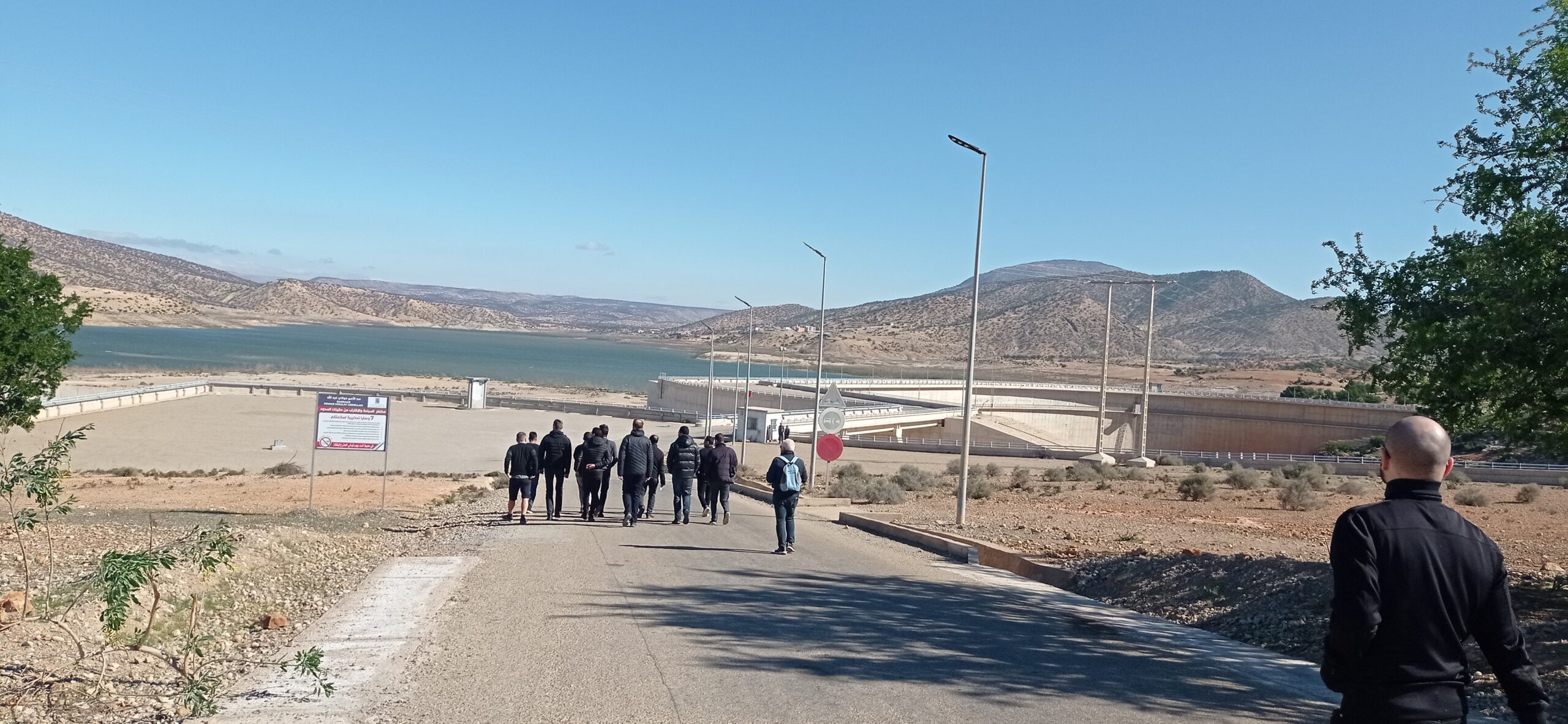
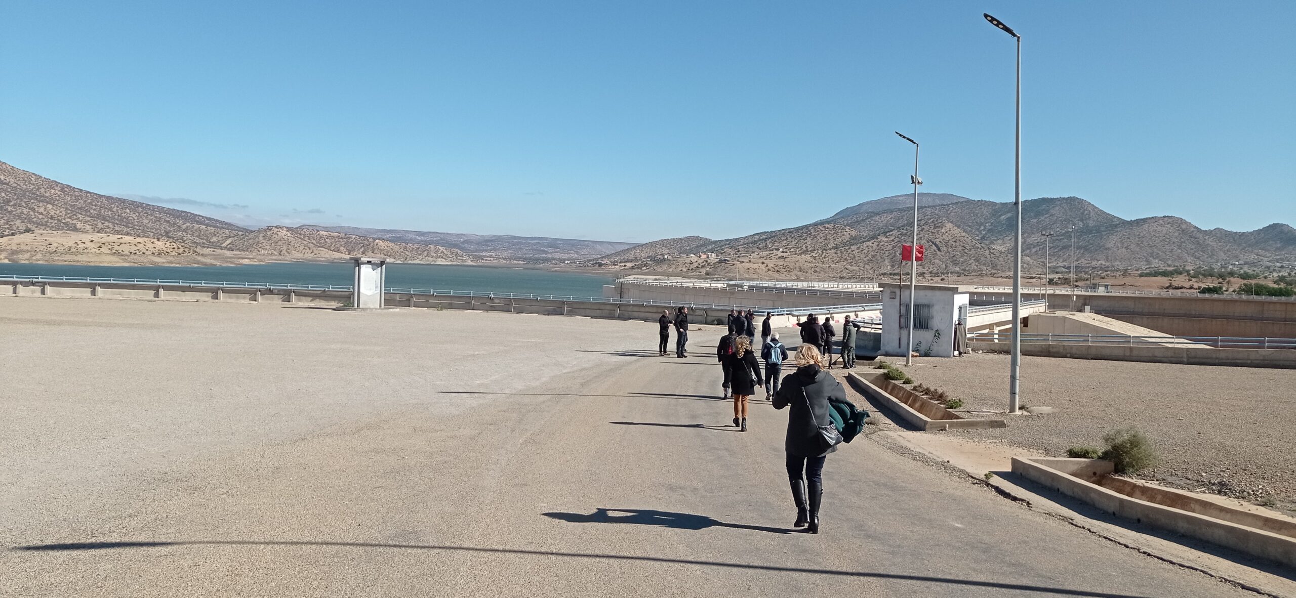
The dam is located on the Oued Ougar, a right bank tributary of the Oued Tamri, about 60 km as the crow flies from the city of Agadir. It is a 65 m high arch dam on a foundation. It allows to control a catchment area of 1258 Km2, and to create a reservoir of 110 Mm3 regulating a volume of 27.5 Mm3 per year.

Potable water supplies: The project of adduction of the dam to the city of Agadir consists of the realization of the following main works:

- A run-of-river raw water intake consisting of a concrete weir,
- A water treatment plant with a capacity of 700 l/s,
- Installation of 67 km of pre-stressed concrete pipes with a diameter varying between 1000 and 1200 mm,
- Construction of three pumping stations and loading tanks.

The realization of the Prince Moulay Abdellah dam has a positive impact on the region:
- It will ensure the supply of drinking water to the city of Agadir and its region;
- It allows re-establishing the communication and the opening up of many douars thanks to the realization of the access road to the dam;
- The profitability of the project has been determined based on a comparison of the benefits and costs of the project over its operating life.

The plateau is projected in a cretaceous calcaro-dolomic plateau deeply carved in narrow gorges by the Oued Ougar up to the lower calcareous pelites (Pi). Both banks are very steep with local overhangs caused by the scouring of the wadi. The upstream area of the site begins with a ‘U’ shaped lock 100 m wide at the top of the cliffs and 25 m wide at the bottom of the valley with two dissymmetrical banks. Further, downstream, the valley widens progressively, becoming four times wider in the downstream area of the site.

The narrowing of the valley in favor of limestone and dolomitic limestone formations constitutes the most favorable site for the implementation of an arch type structure with a lateral spillway placed on the right bank. The reservoir thus created has a volume of 110 Mm3 and spreads over a surface of about 640 ha.

The work started in August 1999 for a total duration of 3 years.
References
[1] : Agence du Bassin Hydraulique du Souss Massa , http://www.abhsm.ma/
[2] : Direction des Aménagements Hydrauliques, http://www.equipement.gov.ma/ministere/Pages/Organigramme.aspx?IdOrg=815
[3] : Public Laboratory of Test and Studies (LPEE), http://www.lpee.ma/en/le-lpee/nous-connaitre
[4] : The Arab Fund for Economic and Social Development (FADES): https://www.arabfund.org/
[5] : The Islamic Development Bank (IDB): https://www.isdb.org/